

Ormond Beach is north of Daytona Beach, and the Ormond Scenic Loop and Trail gives you a way to combine a drive with visits to nearby parks. The Loop is a 34-mile scenic route on public roads, with several ways to join it from Daytona Beach.
- Location: North of Daytona Beach.
- Scenic route: The Ormond Scenic Loop and Trail covers 34 miles.
- Joining the Loop: Head north to Granada Boulevard, then continue via North Beach Street, John Anderson Drive or A1A/Ocean Shore Boulevard.
- Access: The Loop’s public roadways are open 24 hours a day; daylight is recommended for scenery and wildlife viewing.
How do you get from Daytona Beach to Ormond Beach?
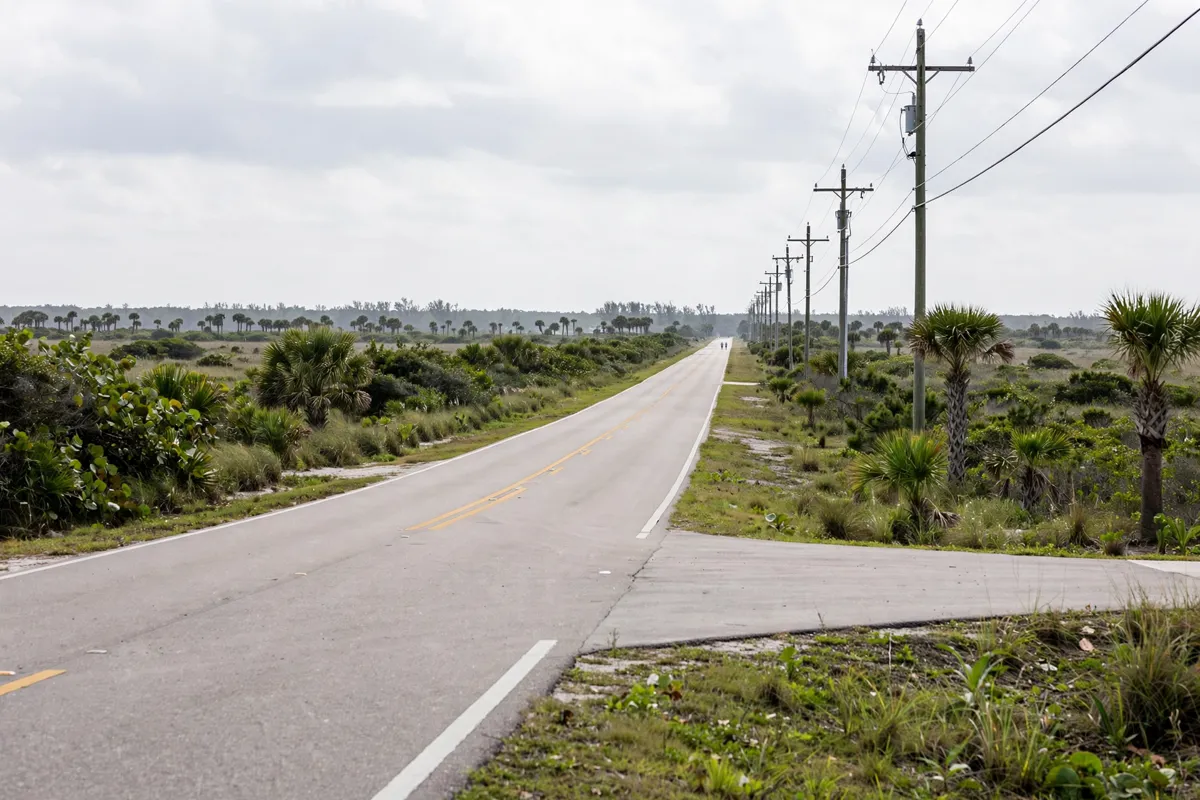
To reach the Ormond Scenic Loop from Daytona Beach, travel north to Granada Boulevard and continue north via North Beach Street, John Anderson Drive or A1A/Ocean Shore Boulevard. You can also access the byway from I-95 west of Ormond-by-the-Sea or via A1A.
For a road trip, Sunshine Inn is in Daytona Beach, the starting point for these northbound routes. The Florida Scenic Highways program designated the Loop a Florida Scenic Highway in 2007; it received national designation in 2009.
What transport options connect the two areas?
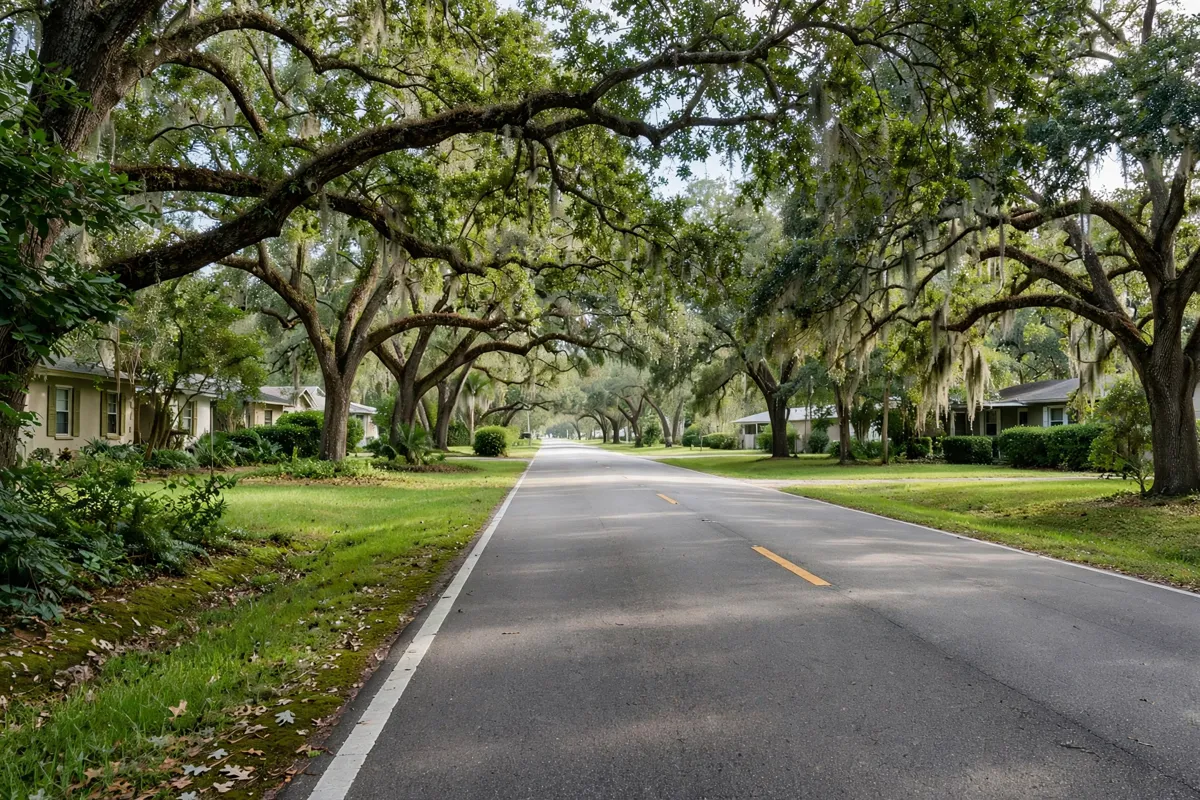
Driving gives you direct access to the Loop’s public roads, while Votran serves the A1A and Granada corridors with Route 19, “A1A/Granada,” and Route 19S, “A1A North.” For a trip without a car, how to plan a one-day Daytona Beach itinerary without a car can help you think through local transport.
Votran’s VoRide service charges a flat fare of $2, or $1 for riders eligible for reduced fares, within its service zone. Connections to Route 70 for beachside service are made at Thompson Creek Superstop in Ormond Beach, the Beachside Intermodal Transit Facility in Daytona Beach at Gate P, or the intersection of Dunlawton Avenue.
Where can you stop along the Ormond Scenic Loop?
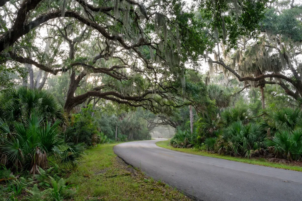
The Ormond Scenic Loop and Trail connects with North Peninsula, Bulow Creek and Tomoka state parks, as well as city and county parks. You can plan a drive with one or more park stops, then allow time for the return journey along the public-road route.
The Loop is also used by cyclists, but there are no designated bike paths outside parks. Some roads are narrow and may carry heavy traffic during peak commuting times, so take care when cycling on the route.
What should you check before a beach outing?
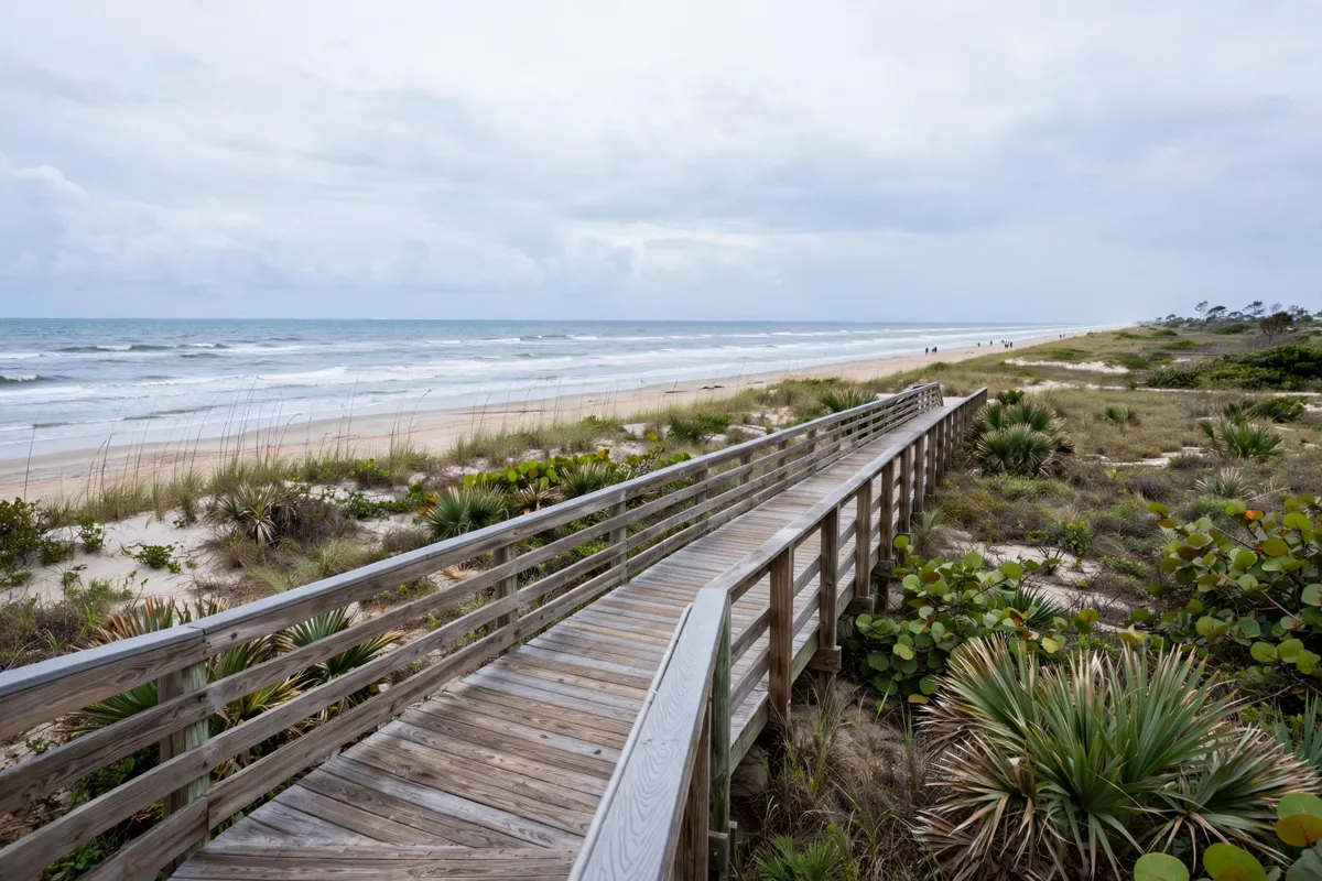
Pedestrian and bicycle access to Daytona Beach is free and available 24 hours a day, subject to tides and weather. For seasonal context, what Daytona Beach is like in winter can help you plan around the weather. Volusia County notes that driving access to Ormond Beach can sometimes be limited to four-wheel-drive vehicles.
Nearby off-beach parking locations include Bicentennial, North Shore and Tom Renick parks in Ormond-by-the-Sea, and Andy Romano Beachfront Park in Ormond Beach. Argosy Beach Park’s lot in Ormond-by-the-Sea has two accessible spaces and 40 regular public spaces; parking there is prohibited from 11 p.m. to 5 a.m.
One-way traffic applies from Granada Boulevard south to Cardinal Drive in Ormond Beach, where motorists may travel north to south. Check the official site before you go for current access, parking and transit details.
FAQs
How long is the Ormond Scenic Loop and Trail?
The scenic route is 34 miles long and runs north of Daytona Beach.
Is the Ormond Scenic Loop open at night?
Its public roadways are open 24 hours a day, although daylight is recommended for scenery and wildlife viewing.
Can you cycle on the Loop?
Cyclists use the route, but there are no designated bike paths outside parks. Some roadways are narrow and may have heavy traffic during peak commuting times.
Is beach access free?
Pedestrian and bicycle access to Daytona Beach is free and available 24 hours a day, subject to tides and weather conditions.